Norrskär
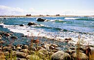
Östra Norrskär is the archipelago's biggest
island and consists of gravel, stones and a few cliffs. The shoreline
meadows are at times extremely lush, thanks to the algae that
wash ashore to form a nutritious base. The highest portions are
barren with brush-covered heath. Västra Norrskär, with
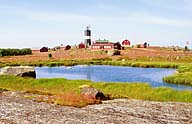
its lighthouse grounds, is also barren. There is the lighthouse-keeper
residences, pilot station and about 30 fishing cottages by the
lighthouse.
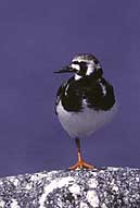
Norrskär has a rich birdlife. The ruddy turnstone
(Arenaria interpeak) is a typical species
for Norrskär. Another special species is the red-necked phalarope
(Phalaropus lobatus) which is a northern
variety. The phalaropes and many other birds gain an important
source of food in the abundant midges. Almost 50 bird species
breed in the Norrskär archipelago, and many are migratory
birds which make their way over or stop and rest on Norrskär.
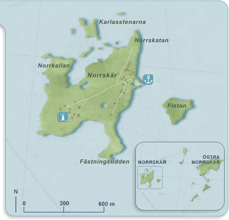
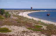
Norrskär's lighthouse is built of brick and granite
and is 21 metres tall. The octagonal lighthouse was completed
in 1846. Staff, consisting of four lighthouse-keepers and their
families, lived in the log cabin next to the lighthouse. Their
lives were often difficult. Fishing, bird hunting and seal hunting
were among the necessary chores. During the winter and early spring
they were completely isolated from the rest of the world. The
lighthouse-keepers received their pay for the winter in advance
so they could buy and store enough food for the entire season.
In 1987 the lighthouse was automated and the last lighthouse-keeper
left Norrskär. He was the very last lighthouse-keeper in
Finland.
The pilot station was manned between 1921 and 1970. Metsähallitus
now owns the building and takes care of and monitors the area
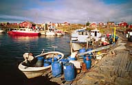
and provides birdwatching services. Norrskär has long been
a lively fishing village. Most of the fishing cottages are used
today as holiday homes. The lighthouse grounds have also been
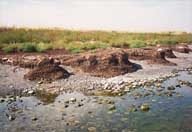
a military stronghold since the Second World War, as can be seen
in the barracks, cannons and bunkers. The armed forces left Norrskär
in 2000 and its areas and buildings were taken over by Metsähallitus,
which now manages the entire archipelago. The lighthouse and buildings
related to it, as well as the new VTS radar mast, belong to the
Gulf of Bothnia maritime district.
Norrskär with its sensitive outer archipelago environment
is only appropriate as a destination for small guided groups and
individual visitors. During the bird breeding season visits should
be limited to the built areas on the lighthouse grounds and to
existing paths.
|